
We flew into Umiat, traveled to Inigok, then made our way up to Fish Creek to the Northeast and eventually across the north side of Teshekpuk Lake, a visit to the Arctic Ocean coast at Drew Point and then back down the West side of Teshekpuk to Inigok. We then took a trip west to Koluktak (AK106), back to Inigok and eventually back to Umiat.

Here is our exact route from our satellite tracking device. For anyone interested, here is the google earth .kmz file SPRING ROUTE

Two caribou along the way…


First repeater, R9 A OK!

Swapping cards and batteries on a river gaging station.

Great weather!

The weather crapped out when we reached Fish Creek Station and worked on completing a snow survey about midnight.
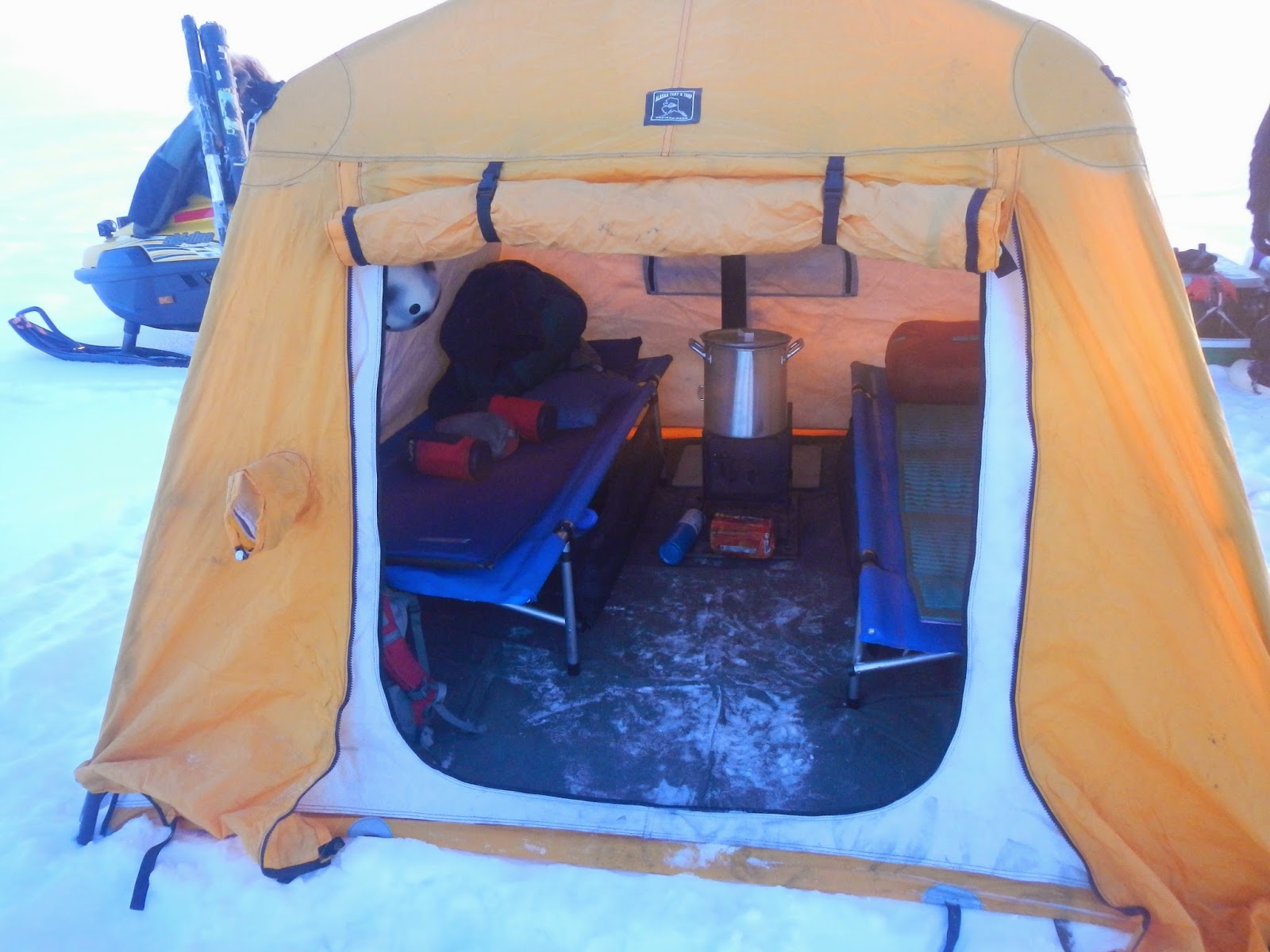
Home sweet tiny home… Arctic oven, two cots and a wood stove. So nice to have a sanctuary from the cold and storm…

"Sunset" at camp at Fish Creek


Eric wrapping up the last of the snow depth probing at 1:00 am

Fantastic day on the Arctic Coastal plain…
No comments:
Post a Comment